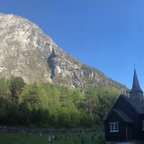
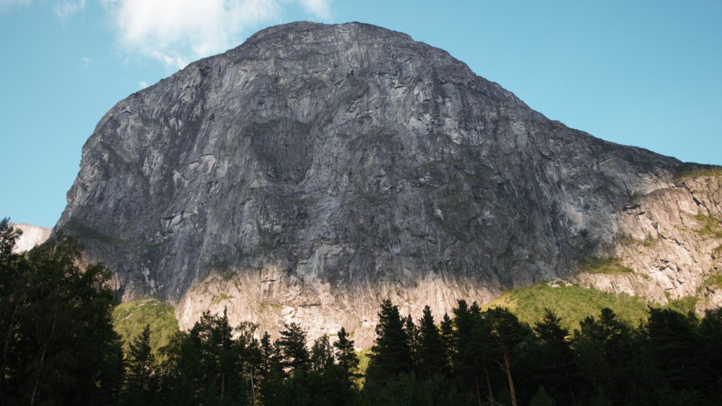
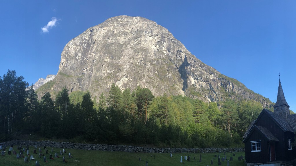
Mongejura
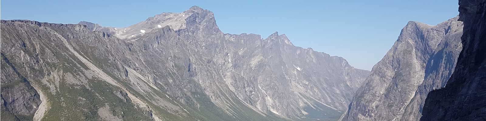
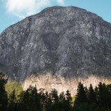
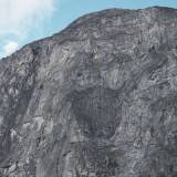
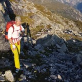
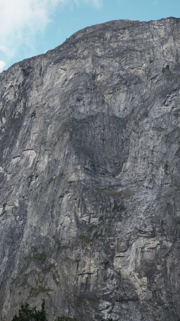
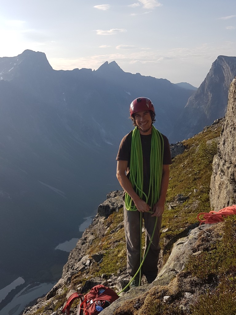
27.08.2019 - Back in Flatanger Richard and Bernhard already mentioned a route in Romsdalen which ranks among the more demanding highlights in Norway. With a grade of N6 the difficulty of the Sydpillaren (N6, 24 pitches) on the Mongejura is not too high, but the climbing distance of 1135m is really challenging. It is also said that the route finding is quite demanding and has forced several climbers to an unplanned bivouac. After the strains of the past few weeks Barbara already feels too exhausted for this adventure. Hence, I ask Richard and Bernhard if they would take me along. They agree and in some ways I am a little relieved because this time I do not have to take on the responsibility and lead of the rope team. The evening before we haggle over the necessary gear and pack our backpacks.
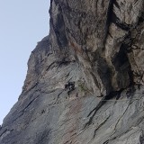
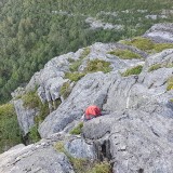
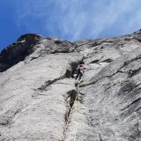
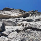
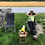
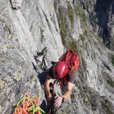
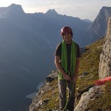
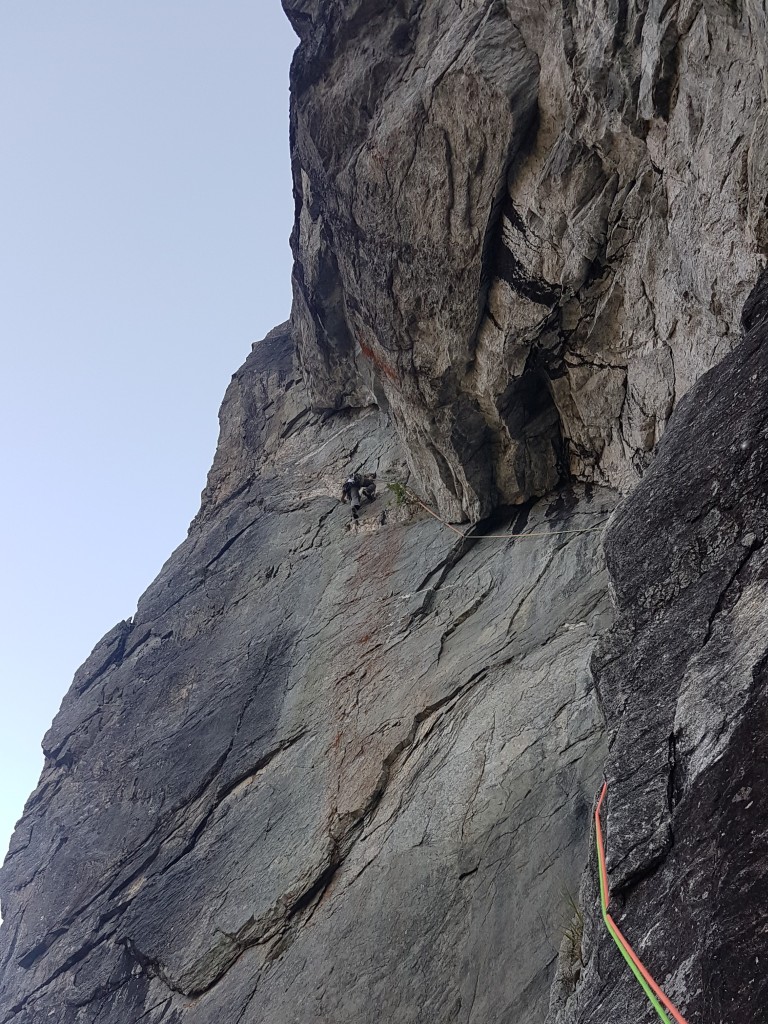
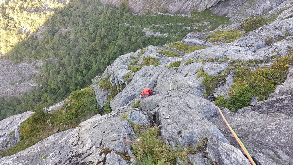
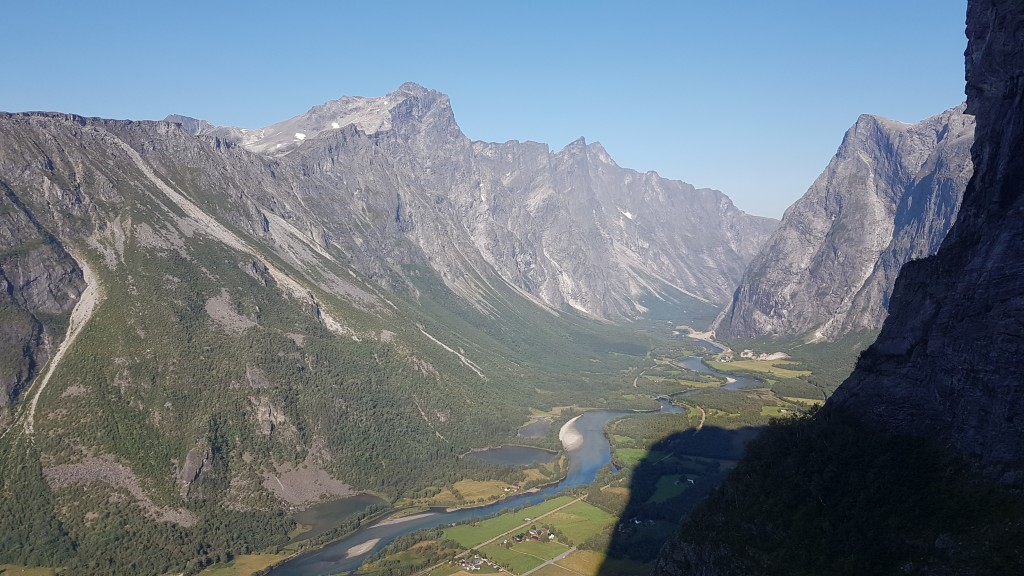
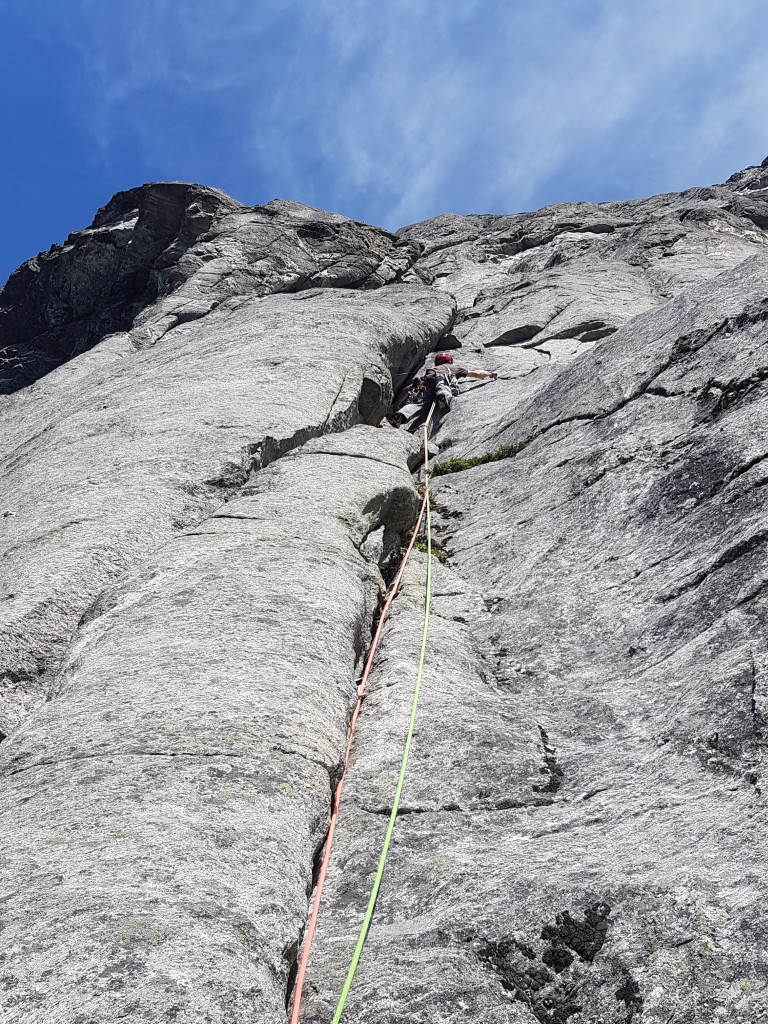
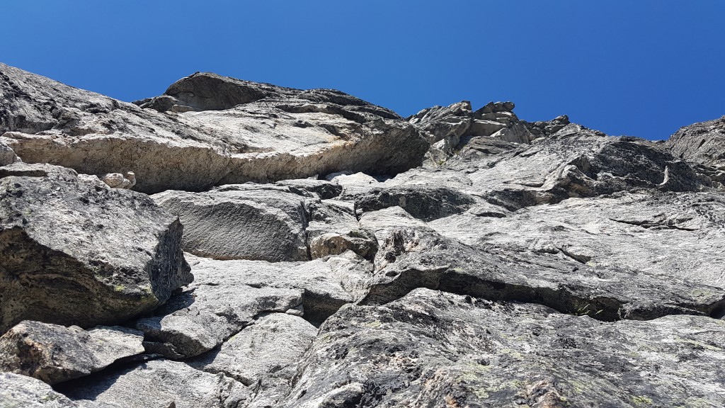
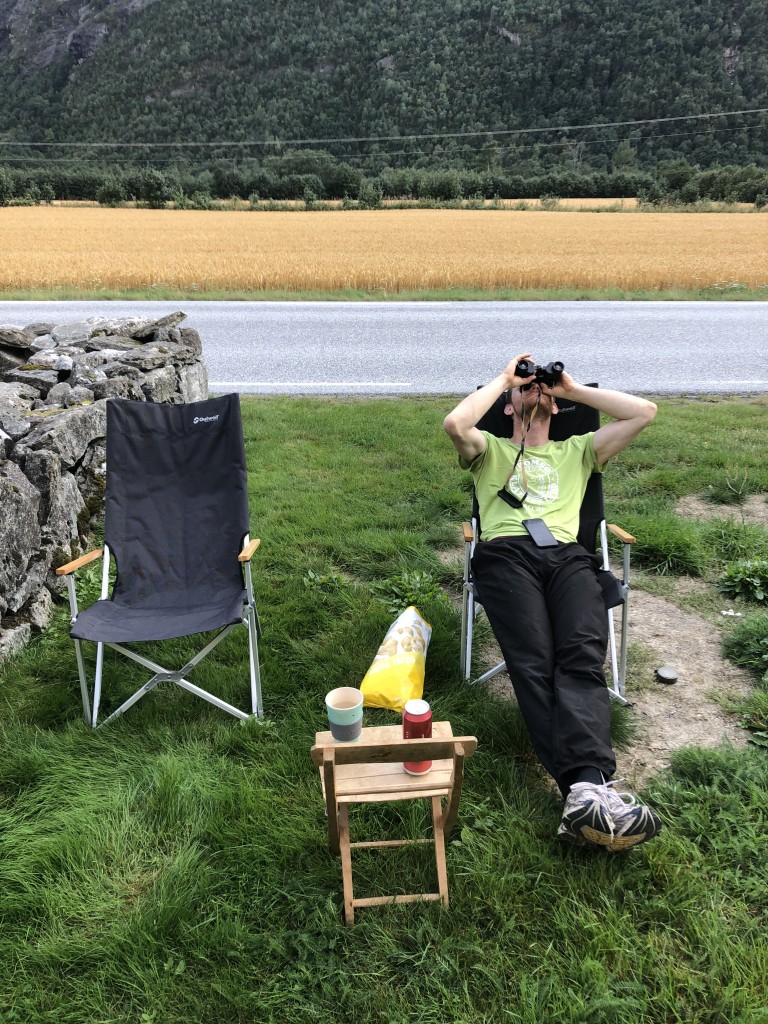
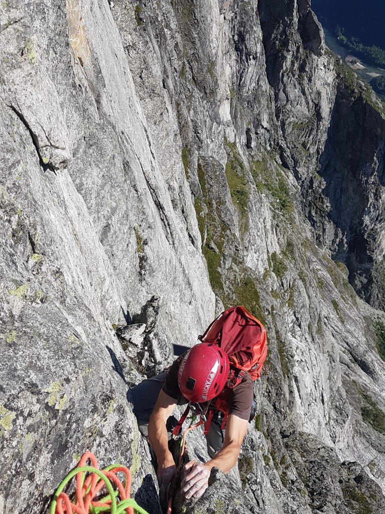
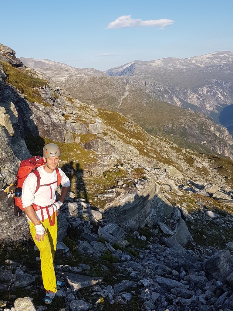
At 05:00 in the morning Barbara and I are standing in front of Richard’s van and it all turns out differently. Richard hardly slept that night and does not feel strong enough for the climb. After some thinking Bernhard and I decide to partner up. The approach through the dense forest takes about one hour. The first pitches are quite easy and dominated by many walking passages. The sixth pitch starts off with a traverse under a massive overhang followed by an overhanging dihedral. From here on, the terrain is much steeper and climbing becomes more difficult. We follow countless cracks and dihedral and find plenty of stuck gear too. Most of the time the belays are solid and fortunately we do not have a hard time finding our way through the wall. Only the last two pitches are a bit confusing. After an ascent time of about 11 1/2 hours we reach the top of the south pillar and find ourselves on the wide grassy ledge below the summit. Meanwhile we have received a picture with a message from Barbara and Richard. They have made themselves comfortable in armchairs with beer and snacks and try to watch us with their binoculars.
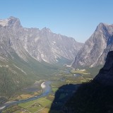
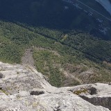
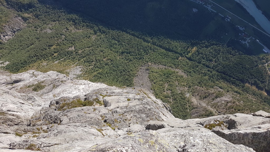
Bernhard and I agree to directly descend from the ledge to the Mongevatn lake. Once we get there we take a short break and finally try to find the marked trail into the valley. Unfortunately, this turns out to be much more difficult than we have expected. We follow many beaten paths, but these either end at cliffs or in the middle of huge fields of mountain pine. On digital maps we try to find the way through the mountainside based on the steepness of the terrain. Without success. Barbara and Richard are desperately trying to find additional information about the descent on the internet. After two hours of thorough searching dawn breaks and we already expect to bivouac in the refuge next to the lake. Luckily, Richard sends us a GPS track. To our surprise this track leads through the steepest section of the mountainside. We follow the track and finally find the long-awaited trail markings. The path into the valley is very steep, slippery and despite the markings often difficult to find. After a total of about 18 hours we reach the road in the valley, where Barbara and Richard welcome us with relief. They make sure we get an (urgently needed) shower and something to eat before we fall exhausted into bed.
Overnight stay: N 62.3248, E 8.0782
Lessons learned
- A rope team of three can quickly become a team of two.
- The difficulty of route finding is experienced differently by each climber.
- The descent is often the most difficult part of a tour.